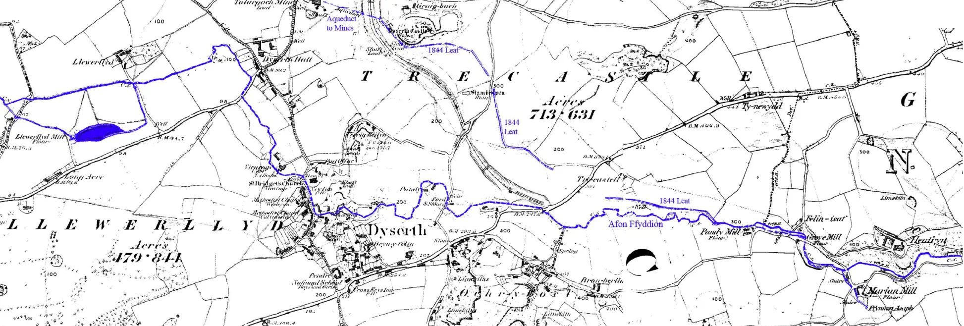
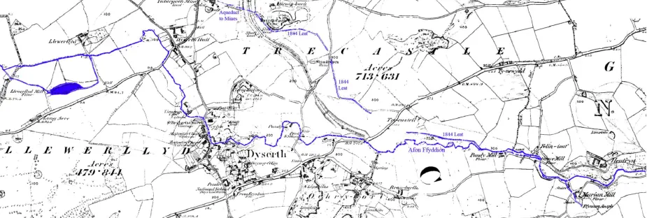
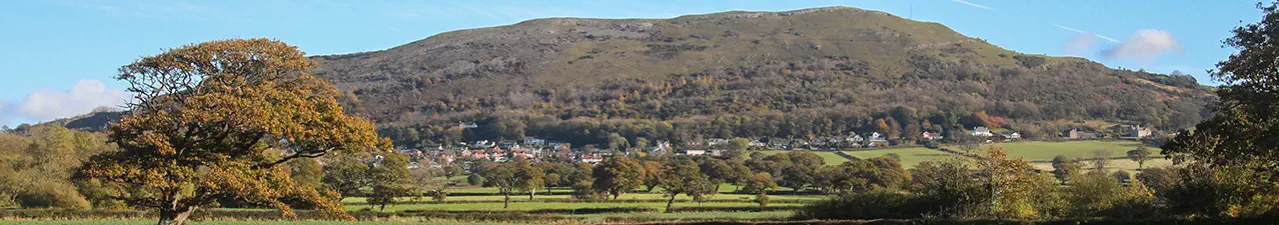
Enlarged map of the leats carrying water to the mines at Talargoch, Dyserth

Image produced from the www.old-maps.co.uk service with permission of Landmark Information Group Ltd. and Ordnance Survey

Back Back Back Back Back Back